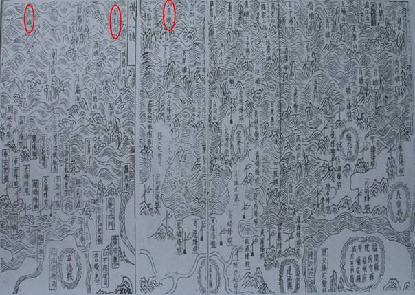
Map of Fujian’s Coastal Mountains and Sands (Fu Jian Yan Hai Shan Sha Tu)
In 1562 (the 41st year of the reign of Emperor Jiajing of the Ming Dynasty), the map was drawn and printed in the book An Illustrated Compendium on Maritime Security (Chou Hai Tu Bian). This map also included Diaoyu Dao,Huangwei Yu and Chi Yu within the scope of China’s maritime defense.
